
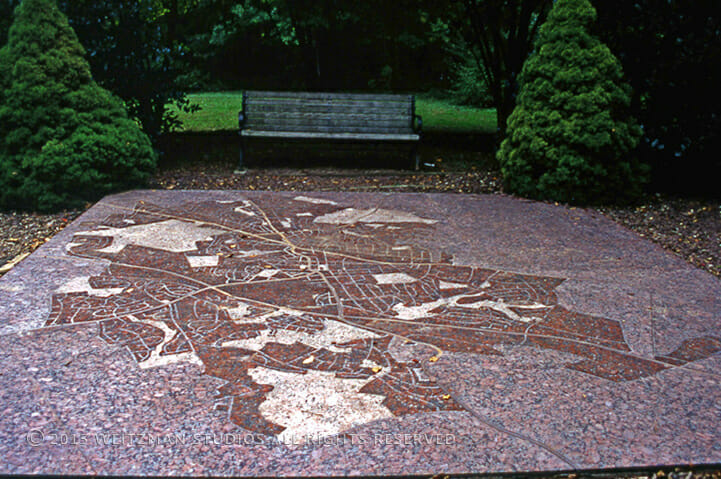
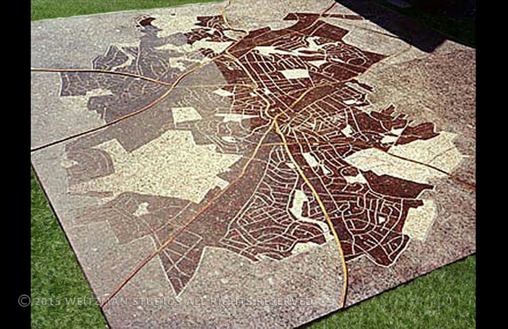
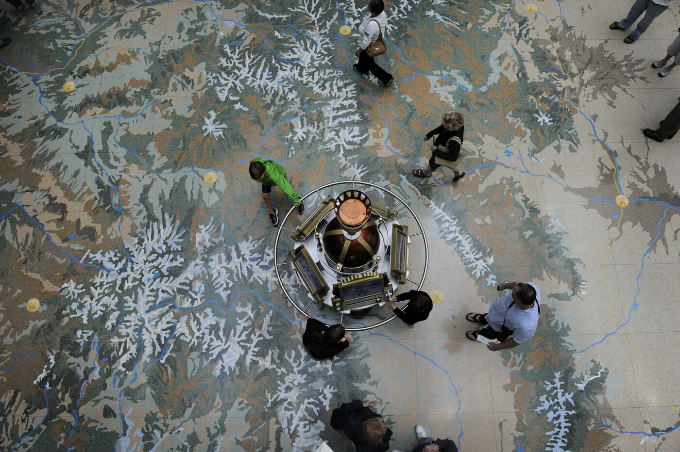
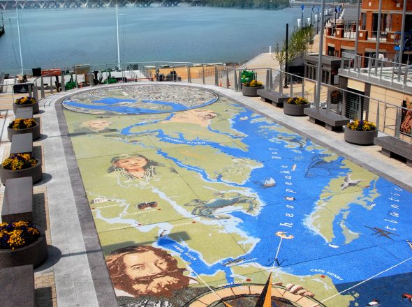
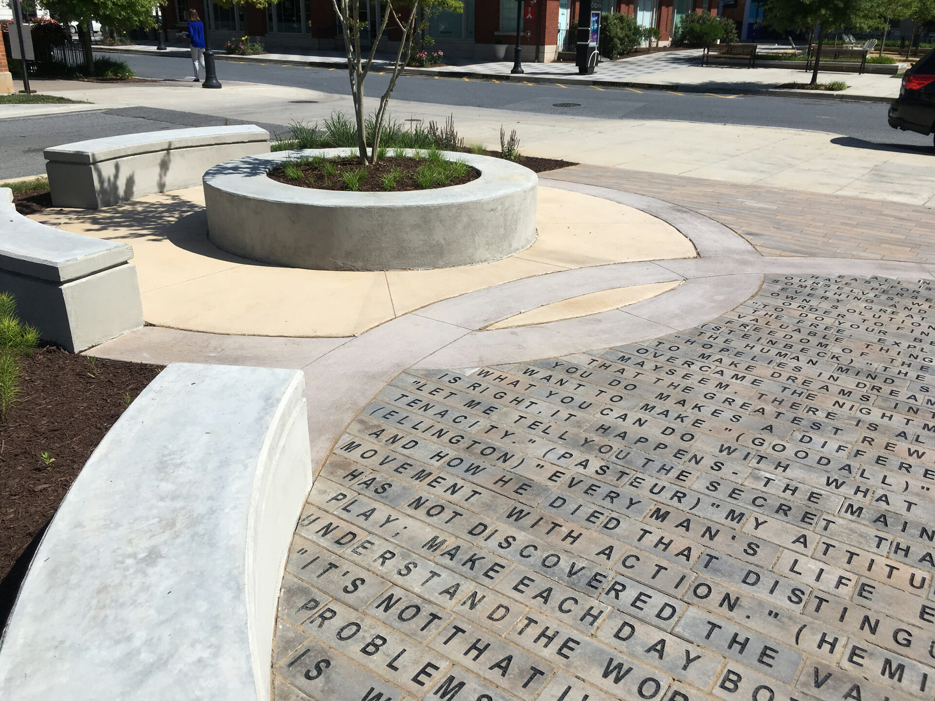
Created out of granite and brass, the Map of Rockville is installed on ground level so that a pedestrian may stand on the map and orient themselves with Rockville. The polished map is sandblasted with the city’s streets and parks, with inlaid brass strips representing the major highways. Three different textures were used to vary the surface: flamed, sandblasted, and honed.
PROJECT INFO
CATEGORY
PEDESTRIAN FACILITIES
LOCATION
ROCKVILLE, MD
PROJECT TEAM
Montgomery County Arts Commission
City of Rockville
